
Invasion Maps: A Detailed Timeline of its Development
read more


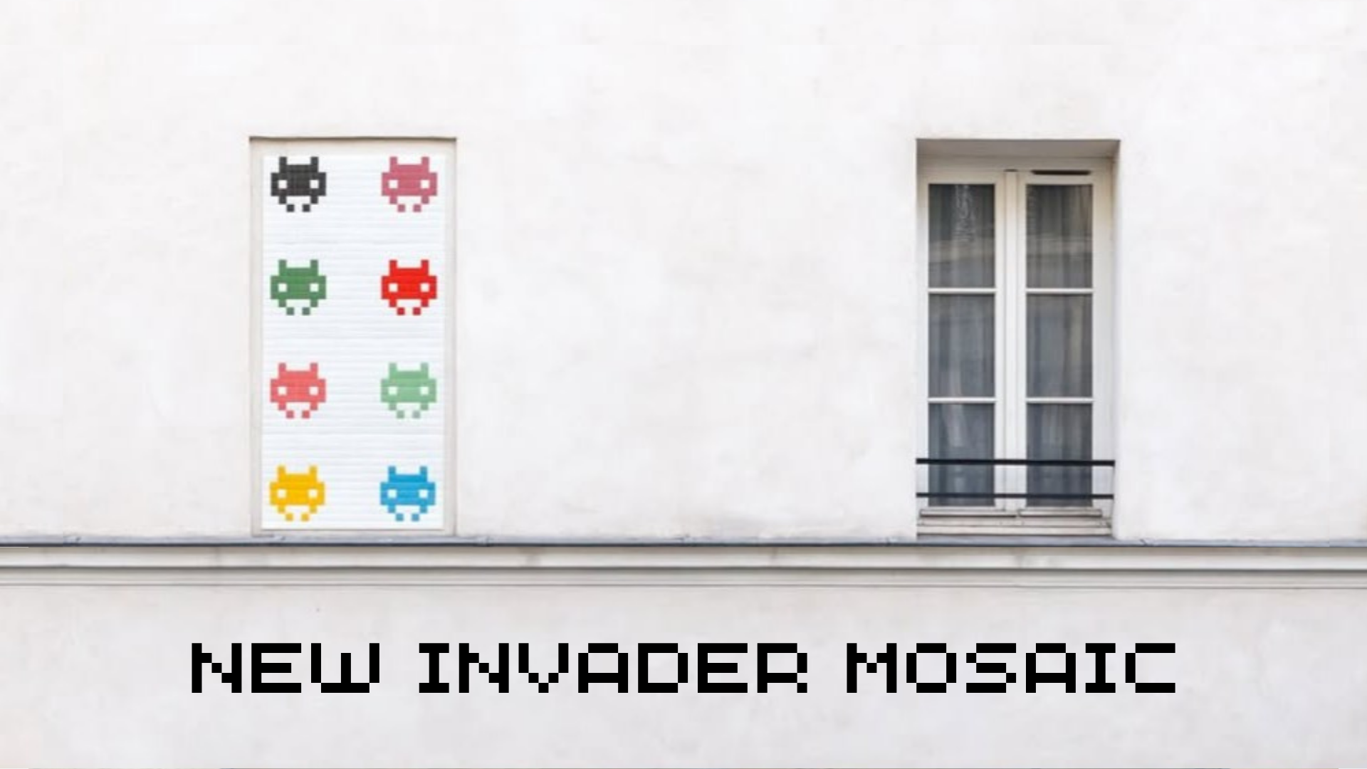


Invasion Maps are sets of prints with maps of popular cities on them. Each Invasion Map is a map in a unique graphic style that tells the story of the invasion of a town. Currently, there are 28 maps for different cities, with one exception being Paris, having three invasion maps. Throughout its long history, it has gone through many changes. In this blog, we will be discussing the journey of Invasion Maps, from the very beginning to what we know it is today.
The First Invasion Map
The first of the series is the Invasion of Paris, released in 1999 with a size of 63 x 96 cm. It features small guidelines on the cover in French, English, Spanish, and Japanese. There is a label “99” on the top-left corner of the Invasion Map to signify its issue year. The legend of the map includes two kinds of icons on the map, which indicate whether a mosaic is visible or destroyed.


Some of these maps were even stamped at the back, which is a rarity as Invader quickly switched signing instead of stamping early in his career.

Paris, as the hometown of Invader, is important to constantly update the ongoing Global Space Invasion Project that has been continuing for the past two decades. Therefore, he continues the green-colored book cover with two more editions.
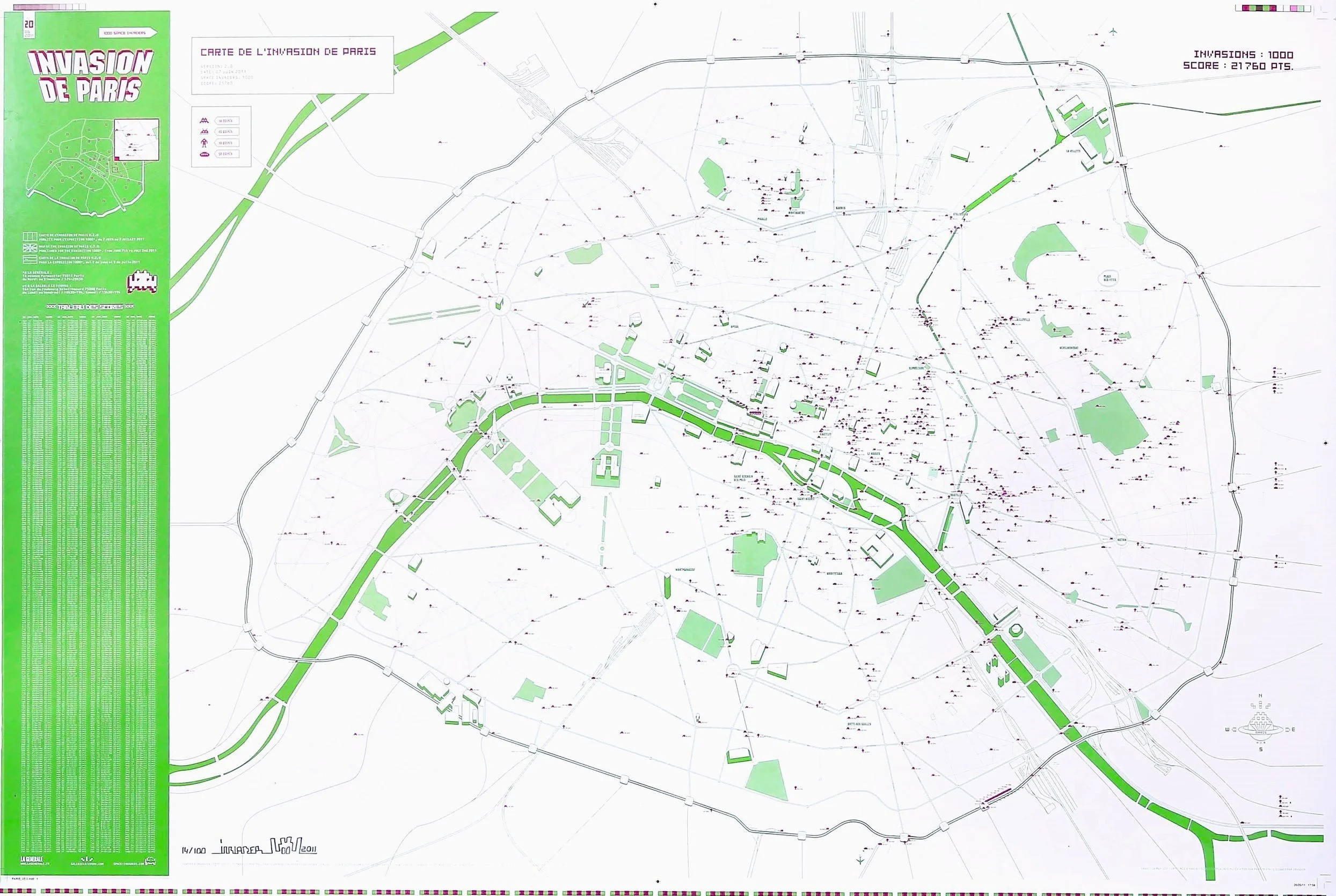
The Second Paris map
The 20th Invasion Map in the series is the Invader de Paris, launched in 2011, which features 1000 Invaders installed in Paris. A notable removal of this version is that the Japanese guidelines on the cover have been removed, while the others remained. The map legend features 4 icons, each representing the area the mosaic is in.
All invasion Maps in Between
Lengthened 60 x 42 cm unfolded, the Attack of Montpellier is the second Invasion Map labeled 99 on the top left. It is the only Invasion Map with the words “by the @nonymous” on the cover and the only Invasion Map that used mask icons for mosaics installed.


The following Invasion Maps, Invasion of Grenoble, Bern to be Invade, Invasion en Avignon, and L’Invasion de Geneve adopted a greyscale background theme color with a tint of vibrant colors. Bern to be Invade is the first map to feature the points system on Invasion Maps. They also began including languages of the city invaded, such as German for Bern, Switzerland.


The following Invasion Maps haven’t added much, which include Invasion de Lyon, Invasion of Rotterdam, 宇宙からの 東京侵略, and Invasion of Perth. Though, Invasion of Perth is interesting design-wise due to the use of vibrant, sunny yellow colors.


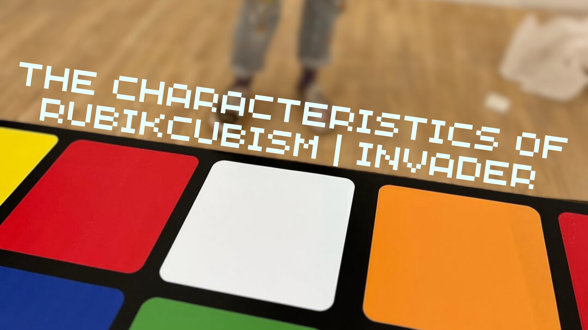
Invasion of New York City, L’Invasion de Los Angeles, United Invasion of Manchester, and L’Invasion de Bastia follow the previous Invasion Maps. Invasion of New York City used Rubikcubism as the background; L’Invasion de Los Angeles is the first Invasion Map to feature an orientation bearing with an Invader as the North point. The United Invasion of Manchester paid tribute to football club Manchester United F.C; and L’Invasion de Bastia is the first Invasion Map with a real-life photo.


Then comes Invasion Von Wien, Invasion Cote D’Auzr, Invasion de Bilbao, Invasion of Kathmandu, Invasione di Roma, Invasion de Paris, and Invasão de São Paulo. Invasion Cote D’Auzr is where Invader started experimenting with several graphics adjustments. With a photo as the background of Invasion Cote D’Auzr, a pixelated GPS picture in the Invasion de Bilbao, a 3D picture for the map itself in Invasion of Kathmandu, and a real city map for the Invasione di Roma.


In the most recent Invasion Maps, however, Invader reverted to hand-drawn designs. BXL 2012 Derives may not seem very spectacular. Still, Invasion of Miami has a unique color scheme of pink and cyan; the New Mosaics of Ravenna adopts a pixelated cartoon theme; the Invasion Map of Djerba Island references ruined pirate maps; Invasion Planete Marseille uses a stencil font; and the Invasion Potosi Mission 4000 uses a sans-serif font.


The Most Recent paris Map
The Invasion De Paris V3.0 is the newest map and the newest paris map released by Invader (2024), being the 28th Invasion Map to be published. The map was published for the Invader Space Station exhibition from 17 February to 5 May. Its size is 21 x 12 cm folded and 63 x 96 cm unfolded. This third Invasion Map of Paris features the 1500 mosaics Invader installed in the French capital city from 1998 to 2024.
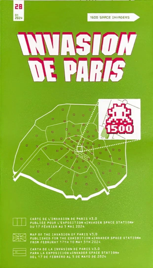

Mosaics aren’t labeled with icons or signs anymore on the map, but it’s the first time Invader has placed the image of the mosaic directly on the map itself, making it easy to recognize and identify. However, it sacrificed the indication of whether the mosaic is still present or removed.

In addition, the mosaics on an Invasion Map are probably out of date, even the newest ones. As Invader continues his invasions, these physical map copies are sure to miss the new mosaics installed and the ones no longer existing due to thievery or removal. The score recorded on the newest map is 41090, but the official score of Paris, up till PA_1531, the love mosaic, is 42110.

All rights reserved
~
We do not own any copyrights to the photos used
~
All rights reserved ~ We do not own any copyrights to the photos used ~